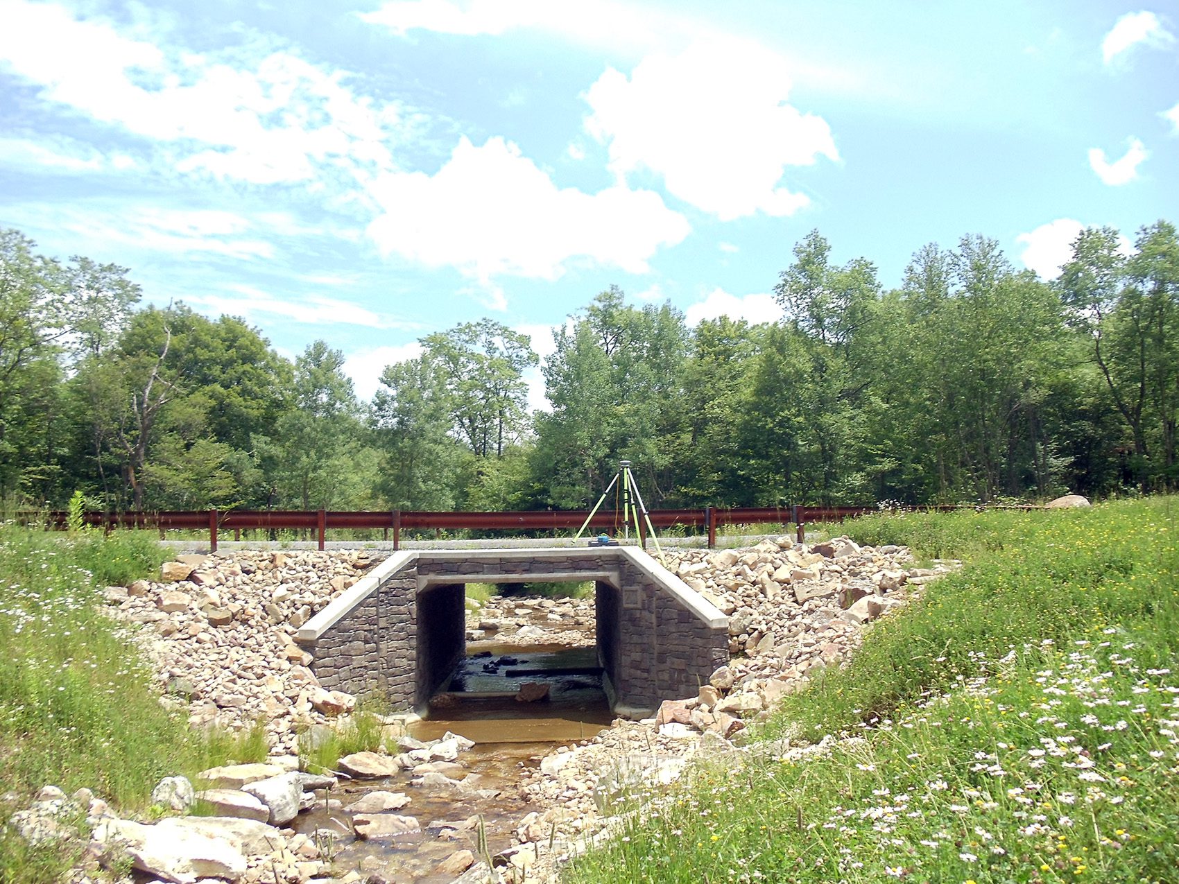
Surverying
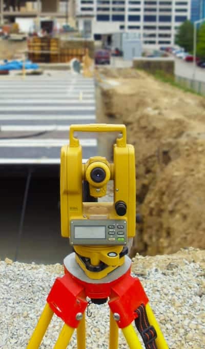
We take pride in the quality and accuracy of our work in all phases of Surveying. Our Surveyors are familiar with standards, procedures, and specifications published by various government and title agencies. Our crews are equipped with Nikon & Sokkia Total Stations, Wild & Sokkia automatic levels, and Ashtech GPS receivers. Final plans are drawn using the most current version of AutoCAD Civil 3D software and GPS data is processed using GNSS Solutions Software.
Our Surveying Services
- ALTA / ACSM Surveys
- Photogrammetric Mapping
- Control Surveys
- Route Surveys
- Utility Surveys
- Construction Stake-Out Surveys
- As-Built Surveys
- Right-of-Way Surveys
- Topographic Surveys
- Settlement and Displacement Surveys
- Hydrographic Surveys
- Boundary Retracement Surveys
- Subdivision Design Surveys
- Utility Mapping
- Flood Plain Mapping
- FEMA Elevation Certificates